Sunday, March 20, 2011

Old time California friends

Our adventures over the past two weeks did not include access to wireless Internet but did include visits with very good friends here in California. A little fishing with my nephew Buddy and his wife Rose, in the Santa Clarita area, then lots of reminiscing about Air Force and College adventures, or misadventures according to some of the participants, further north on the coast.

We were anxious to touch bases with Russell Moran, who had a double lung transplant two years ago. He is doing well, still a bit too thin, but easily walking up the steep staircase to his second floor apartment. He lives in Oceano, which is just south of the city of Pismo Beach, close to the ocean with miles of sand to cover on a morning walk. We spent some of the time there helping him set up a way to organize all his appointments and notes. No small task considering the number of Doctors he sees.
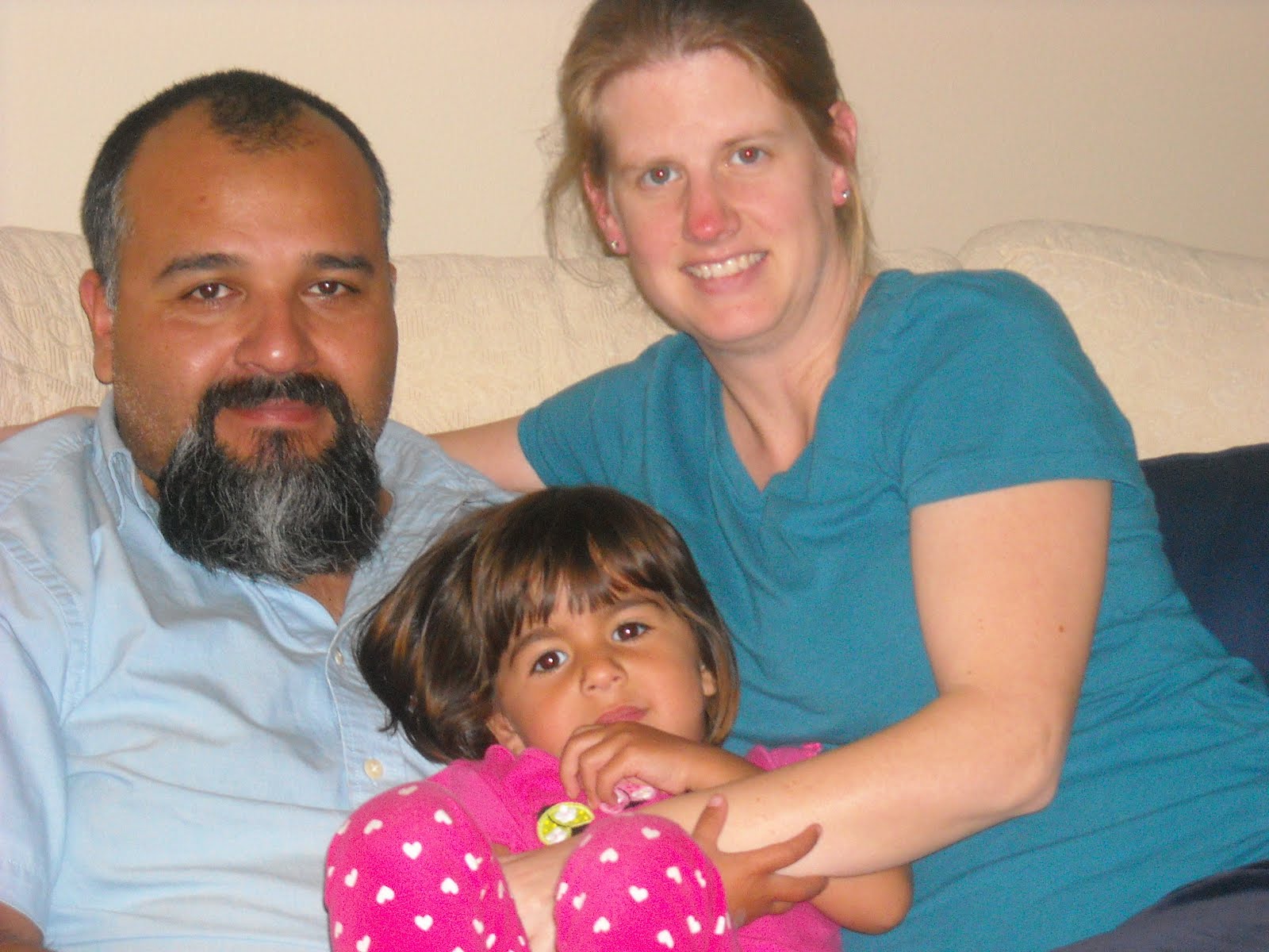


Russ and Marlin

Russ at home


Steve and Beth Fleming live a few miles away in Arroyo Grande so the five of us spent most of the week on daily activities and evening meals. One night Steve prepared “Beer Butt Chicken” for the group. The original recipe called for sitting a chicken on top of a can of beer and cooking it on the grill. Steve had a better idea. He filled a beer can with wine and spices, covered the bird with a tangy rub and baked it in the oven. Beth completed the meal with potatoes and salad. The prep was lots of fun and the results were fantastic.


Steve's creation - "Beer Butt Chicken" ready to have his butt stuffed with a can


Beth helps with the prep


On the can


The finished product


The three musketeers


A hike at an Audubon preserve along the coast


Avila beach


On a cruise to Hawaii, Steve and Beth took ukulele lessons. We had a little sing along and Marlin gave playing a try. Appropriately he was wearing his Bourgeois guitar shirt. Bourgeois is the guitar company that our son James works for. They produce hand made high end guitars for mostly blue grass performers like Ricky Skaggs and Bonnie Reit and the Dixie Chicks

At weeks end we traveled north to Sonora, in the Sierra foothills, for a week with Red Wing and Ed Klawin. Sonora, located in the old California gold rush area, today contains neighborhoods scattered along roads that snake through the tree covered hills and provide space for horse pastures in the majority of the backyards. Marlin and Ed spent a couple of days fishing, while Red Wing and I dove into a scrapbooking project she wanted to begin organizing. She had copies of poetry her father had written to go along with some old family photos. It is going to be a wonderful tribute, but lots of work ahead.


We hiked at a local park through this forest of manzanita trees. The tree bark is a silky smooth deep purple color. These are small young trees, but are still able to create a tunnel effect along the trail.


Red Wing was the nickname, taken from the song, that her dad gave her as a child. Although she doesn't us it much now, when we met her, back in the 60's, that was how we were introduced, so we still call her Red Wing. A friend had the sheet music for the song and gave it to her several years ago. Sherolyn (sp?) will always be Red Wing to us.


Marlin and Ed Klawin having a good laugh


Dancing to the Oldies but Goodies!


Marlin and Ed went fishing in the Stanislaus River not far from their house. A beautiful spot, especially with the recent rain which brought out all the fresh green.


We left California behind and headed east on March 18th. We might stop in Las Vegas and meet up with Jed for a quick visit since he will be there for a construction convention on the 21st. Stay tuned.


Friday, March 4, 2011

California

We arrived in Joshua Tree National Park about the same time the weather began to moderate. Driving from Blythe, California put us at the southern entrance to the park just before noon and the temperature was warm enough for short sleeves. Hooray!


Joshuah Tree National Park encompasses two separate deserts, The Colorado and the Mohave, each exhibiting a different array of plant life. At the lower elevation, the entrance road winds through a part of the Sonora Desert. Before reaching the Cottonwood Visitors Center there was a short nature walk with labeled plants common in the Sonora desert that is located at this lower altitude. It had rained recently and with the warmer temperatures most plants here were in bloom. This walk really perked up my spirits.


Whenever we have seen the ocotello (sp?) in the past it always looked like a bundle of brittle sticks standing straight up from a central clump. For this visit the plant put on its best show with tiny green leaves covering the entire stalk and a brilliant red plume at the tip.


This plant with its red tube-like blossoms was covered with bees and an occasional humming bird


Beaver Tail cactus ready to burst into bloom


This is a baby Joshua tree. They only grow about one inch per year.


The drive through the center of the park continues to increase in elevation and changes in plant life. Either because of lower temperatures or less rain, any flowering was harder to pick out unless you looked very closely.
At the first visitors center we checked out a list of ranger led walks and arrived early for a hike to the Baker dam. This dam was build by the Keyes family when they homesteaded here in the 30's. They operated one of the gold and silver mines in the area, kept some cattle, and nurtured a small orchard.
Our Ranger guide made the walk interesting by pointing out different animal scat and quizzing us as to which animal had deposited it in our path based on its contents.

The Keyes no longer farm here but the dam still hold back water for animals and birds


Joshua trees


A barrel cactus in bloom


The Joshua forest

We also took a ranger hike to the remains of a different homestead. The Ryan ranch was a more prosperous endeavor. This family worked a gold and silver mine that was the most productive in the area. Some figures suggest it made about five million dollars in today's money. Not much remains of the adobe house but it had a beautiful view from where it sat.

The remains of the Ryan ranch.
After leaving Joshua Tree we visited Dick and Joan Andren who were in Venture, CA spending time with their daughter, son-in-law, and granddaughter.


Hiking in the Venture hills. Great trails in a spacious city park


Dick and Joan walking along the beach front park


Karina just turned three. We had a fun visit with her and her parents.


Karina and Papa Dick


Nora, Rico and Karina


The Andren and Perez families


Gramme and Karina on a virtual bicycle tour. Grandparenting is the best part of aging. We spent two days with the Andrens and they thanked us for bringing some warmer weather. It has been cool here for most of their month long visit.


Sunday, February 27, 2011

New Mexico

The last week has been spent dubbing around in New Mexico looking for possible winter fishing spots. Marlin did his homework and had researched New Mexico lakes and streams, where you could fish at this time of year. He found four possible sites just north of the Texas border in New Mexico, so we headed in that direction. The results weren't quite what we expected. The two "lakes" closest to Texas were man-made ponds inside City parks. Although the setting was pleasant enough, it wasn't quite what we were looking for.


We moved toward the center of the state where a friend had recommended great fishing opportunities. These were dam created lakes on sections of the Rio Grande. The water levels were very low in the lakes, and when a camp host said he had not seen anyone catching fish from the shore, that a boat was really necessary for any fishing, the tackle box was buried back where it had been hidden under chairs and books.


Our last sunset in Texas


Our next stop was to be Silver City on the western side of NM. While in Seminole State Park, we had met a couple who were headed there to be hosts at the Gila cliff dwelling site. They loved Silver City so we decided to check it out. The trip took us over a pass with a view of the White Sands National Monument in Alamogordo. In New Mexico, it seems you drive for miles and miles in flat, dry, scrubby desert, when suddenly you are climbing through ancient, uplifted layers of limestone or magma outcroppings, over six or eight thousand foot passes and down through spectacular views of more flat dry desert.


The white sand that make up the dunes in White Sands National Monument are created from gypsum deposits laid down millions of years ago. Wikipedia explains it like this:

Gypsum is rarely found in the form of sand because it is water-soluble. Normally, rain would dissolve the gypsum and carry it to the sea. Since the Tularosa Basin has no outlet to the sea, rain that dissolves gypsum from the surrounding San Andres and Sacramento Mountains is trapped within the basin, and the rain either sinks into the ground or forms shallow pools which subsequently dry out and leave gypsum in a crystalline form, called selenite, on the surface.

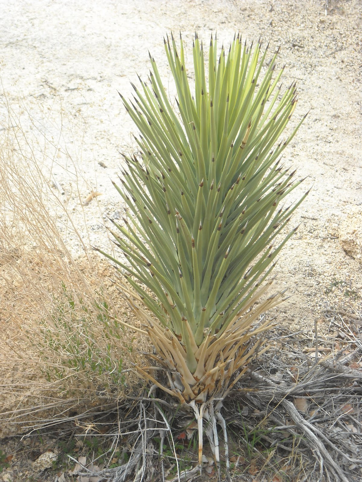
White Sands National Monument in the distance. It looks like snow on the desert from here.


Elephant Mountain Dam and State Park, NM. Where is our boat when we need it!


A bridge built over a steep gorge on one of the mountain passes in NM


Another pass in New Mexico


There were several industrial mines scattered in the mountains of southern NM. You cannot even see the bottom they are so deep. This one has been worked since the late 1800's


Our stop in Silver City ended up consisting of only one night. The weather report was for a severe cold front arriving the next night with snow in the mix. Life in our rig can be tolerated with temps in the mid 30's, but below that, or snow, is just more than the pop-up (or us) can tolerate. So again, we changed plans and moved on to Arizona, hoping to avoid the worst of the weather. After stopping to visit a cousin in Tucson, temps were still predicted to be near freezing that night, so we opted for a hotel.


Sunday morning this was the view out our hotel window


and through the windshield of our truck. Tucson received 3 inches of snow overnight. Now I realize that even mentioning three inches is laughable considering the three feet on the ground in Maine, but for Tucson, which is usually in the 70's this time of year, it was a big deal.


Tomorrow we are headed for Joshua Tree, California, still looking for warmer temperatures. The forecast does not look good.


Monday, February 21, 2011

Fort Davis to Big Bend

After camping at Davis Mountain State Park for three nights we have decided to buy a ranch here and raise horses! Not really, but if we had visited here when we were, say 20 or 30, we may have done just that. Fort Davis, a town of approximately 2000 residents in West Texas, has an elevation of 5,050 feet which makes the terrain and temperatures substantially less severe than other areas in this local. Summer temps average around 88 degrees, with a low of around 30 in the winter. Beautiful rolling hills of golden, knee high grass dotted with live oak and cottonwood trees stretch as far as you can see


The original for in Fort Davis was built in 1854. It was established here to protect the settlers, mail carriers, and freight haulers from Indian raids. Today the restored Fort is an outstanding example of what a frontier fort was like and a focal point of the town.


Our campsite at Davis Mountain State Park


View from Skyline Drive


Indian Lodge is a restaurant and lodge within the park that was built by the CCC circa 1935. In 1933 the CCC arrived in the Davis Mountains to begin construction of the State Park on land donated by local land owners. They constructed Skyline Drive up to the top of the highest hill in the park, and a 16 room adobe lodge. The lodge was built with large beamed ceilings lined with cane harvested in Big Bend, hand carved cedar furniture, and unique fireplaces that are still used today. An additional 24 rooms, swimming pool, and restaurant were added in 1967, and another 24 rooms were built on in 2002.


Indian Lodge office at the entry drive


An interior patio


CCC built picnic shelter at the top of Skyline Drive.


Fort Davis is also the home of McDonald Observatory. McDonald Observatory, is a research unit of The University of Texas at Austin. According to our guide, in 1932 a local resident left money for the University to establish an observatory on donated land on the top of Mount Locke. Unfortunately the University of Texas did not have an astronomy department so it went into partnership with the University of Chicago, who did have a department but no telescope. Today, McDonald Observatory is one of the world's leading centers for astronomical research, teaching, and public education. Observatory facilities that are located in the Davis Mountains, which offer some of the darkest night skies in the United States.


On the 16th we spent four hours at the observatory. The scheduled tour began at 2:00 so we arrived ½ hour early to view the exhibits in the visitor’s center. Rachael was our tour guide. An astronomer herself, she exuded enthusiasm and knowledge about the facility as well as the subject matter. Her job was public education and she was certainly well suited for that job.


Rachael our guide at McDonald Observatory


The guided tour began with ½-hour presentation in the theater about the sun and stars and how it is studied with spectrograph technology here at McDonald. So much information was presented that at the time I thought I was following along but later when I tried to write some of it down the data had escaped totally from my brain!


After the theater presentation we visited the 107-inch Harlan J Smith telescope, which was the third largest in the world when it was built in 1968. This telescope is used every clear night by astronomers who must submit a study proposal to a board before they can be scheduled for a time to visit the observatory and use the telescope.


Our tour also included a visit to the Hobby-Eberly telescope which has a 433 inch composite mirror and is the 5th largest optical telescope in the world. It is optimized for spectroscopy, the decoding of light from stars and galaxies to study their properties, making it ideal for searching for planets around other stars, and studying distant galaxies, exploding stars, black holes, and more. The observatory houses several other smaller telescopes that we did not visit but they continue to be used every day.


All the data collected from these telescopes is transmitted by computer to a control room where astronomers view the information as spectrographs on computer monitors. They never actually view the stars through the scope. Our guide told us that the majority of astronomy today is done with spectrographs. These graphs tell how bright, how far away the stars are, and what the stars are made of, all from the colors of the spectrographs. Sounds simple; right!


Two of the McDonald observatories from the visitor parking lot


Looking east from the observatory


and west


The computer that moves the 86 inch telescope


Sun Dial at the visitors center


A diagram of the 107 inch Hobby-Eberly telescope and building


The dome was constructed locally to save on building costs


The green tubing supports each individual mirror and adjusts each one individually when they are not precisely aligned. These supports were also produced locally to conserve funds. It is difficult to see by above the green tubing the thin silver line is actually the telescope mirror. This 433 inch surface is actually made up of over a hundred individual hexagon mirrors pieced together to form a whole.


On Friday the 18th we drove the 110 miles south to Big Bend National Park. The results of millions of years of volcanic activity visible in this area is overwhelming. Layer over layer of different types of volcanic events that are now visible through exposure by wind and water weathering. The colors of ash deposit, dikes, magma plugs, are exposed and visible on top of each other in some of the remaining formations. Seems like this place would be a geologists dream come true. It feels very pre-historic, like the computer generated models of cataclysmic events. My pictures all look alike - rock and more rock. It is an amazing place that photographs do not portray.

Over the last two weeks I have swung from wishing I had a degree in archeology, astronomy, plant biology, and geology. Visiting this region of Texas makes me realize just how much I do not know about prehistoric man, the universe, desert flora, or geology. It is all fascinating.


Throughout the park remains of past business and ranches are visible. Many have trails leading to old ruins. We walked into several sites. This is one of the windmills still working and pumping water on the Sam Nail ranch which was taken over when the area became a National Park in the 40's


An old broken windmill at the remains of Sam Nail's ranch, abandoned in 1945 when the park was opened.


A view of Tuff canyon from above. For some crazy reason we decided to hike down into this canyon


and below. Lots of evidence of spring and summer floods that scrub away more rock.


These desert plants are "some tough" This prickly pear was growing right out of a crack


The canyon is narrow because this type of volcanic rock resists the broad erosion seen in other washes. As you walk through you can see the variety of rock types in each layer.


A morning visit through our campsite at Casleton's Cottonwood campground. This group of javalinas came into the clearing one at a time until all 9 wandered out the other side


Santa Elana Canyon. Hard to believe water carved this canyon through the uplifting rock.


Getting ready to hike the Santa Elana overlook trail


The beginning climb to the trail


Going up the switchbacks


At the floor of the canyon the Reo Grande looks very tame this time of year


On our way out we saw this poor bat making tracks through the sand into the grass. Don't know why he was out in the day so we kept our distance.